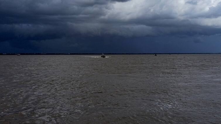
Cyclone Remal Live Updates: Indian Navy Ramps Up Preparations To Provide Disaster Response, Humanitarian Aid
Cyclone Remal Live Updates: Hello and welcome to this live blog. Please follow this space and keep refreshing the page for all the latest updates and developments on the cyclone Remal.
Cyclone 'Remal', which is the first cyclone over the north Bay of Bengal in this pre-monsoon season, has intensified into a severe cyclonic storm. It is expected to make a landfall between West Bengal's Sagar Island and Bangladesh's Khepupara on Sunday midnight, the India Meteorological Department said.
According to the weather department's update at 10:59 AM, Cyclone Remal over North Bay of Bengal is about 260 kilometres south southwest of Khepupara and 240 kilometres south southeast of Sagar Islands with a maximum wind speed of 90-100 kmph over cyclone centre.
The cyclone is likely to move northwards, and intensify further, crossing Bangladesh and adjoining coasts of West Bengal by today midnight with maximum wind speed of 110-120 kmph, gusting to 135 kmph around midnight, IMD stated.
In view of cyclone Remal, the Met office has warned of torrential rainfall in the coastal districts of West Bengal and north Odisha on Sunday.
Additionally, parts of northeast India are likely to also experience extremely heavy precipitation on May 27 and 28.
The low-lying areas of coastal West Bengal and Bangladesh are expected to be inundated by a storm surge of up to 1.5 metres at the time of landfall. The fishermen have also been directed to avoid venturing into the sea in north Bay of Bengal by the weather office until Monday morning.
A "red alert" was also issued in Bengal's South and North 24 Parganas for May 26 and 27, as these coastal districts are expected to receive extremely heavy rain.
Meanwhile, an "orange alert" is also in place for Kolkata, Howrah, Nadia, and Purba Medinipur districts, warning of wind speeds of 80 to 90 kmph, gusting to 100 kmph, and heavy to very heavy rainfall at some places on May 26-27.
The coastal districts of Odisha including Balasore, Bhadrak, and Kendrapara will likely receive heavy rains on May 26 and 27, while the weather department has also forecast heavy precipitation in Mayurbhanj on May 27.
The IMD has warned of significant damage to vulnerable structures, kutcha roads, power and communication lines, crops, and orchards and localised flooding in South and North 24 Parganas districts of West Bengal. The people in these affected areas have been advised to stay indoors.


